 Close
CloseThe Sunshine Coast Regional District (SCRD) undertakes a variety of environmental monitoring across the region. This monitoring occurs up and down the Sunshine Coast, from the testing of water in creeks and aquifers, to methane monitoring at the landfill. These programs help ensure the ongoing protection of human health, regional infrastructure, and our natural environment. Through the monitoring and collection of data, we can apply adaptive management techniques to adjust to the changing needs of the region.
Water Monitoring Program
Monitoring water helps ensure the SCRD can deliver safe and reliable drinking water to residents. Tracking water levels, water quality and flow patterns allows for effective drought management, safeguarding communities and ecosystems from negative impacts. Increasing the water data we have available helps ensure sustainable management of water resources as climate changes.
The environmental flow needs (EFN) of a stream are the volume and timing of water flow required for proper ecosystem functioning. Under the guidelines of the Water Sustainability Act (WSA) it is mandatory to consider EFNs when issuing surface and groundwater licenses. The EFN is determined by the Provincial EFN Policy.
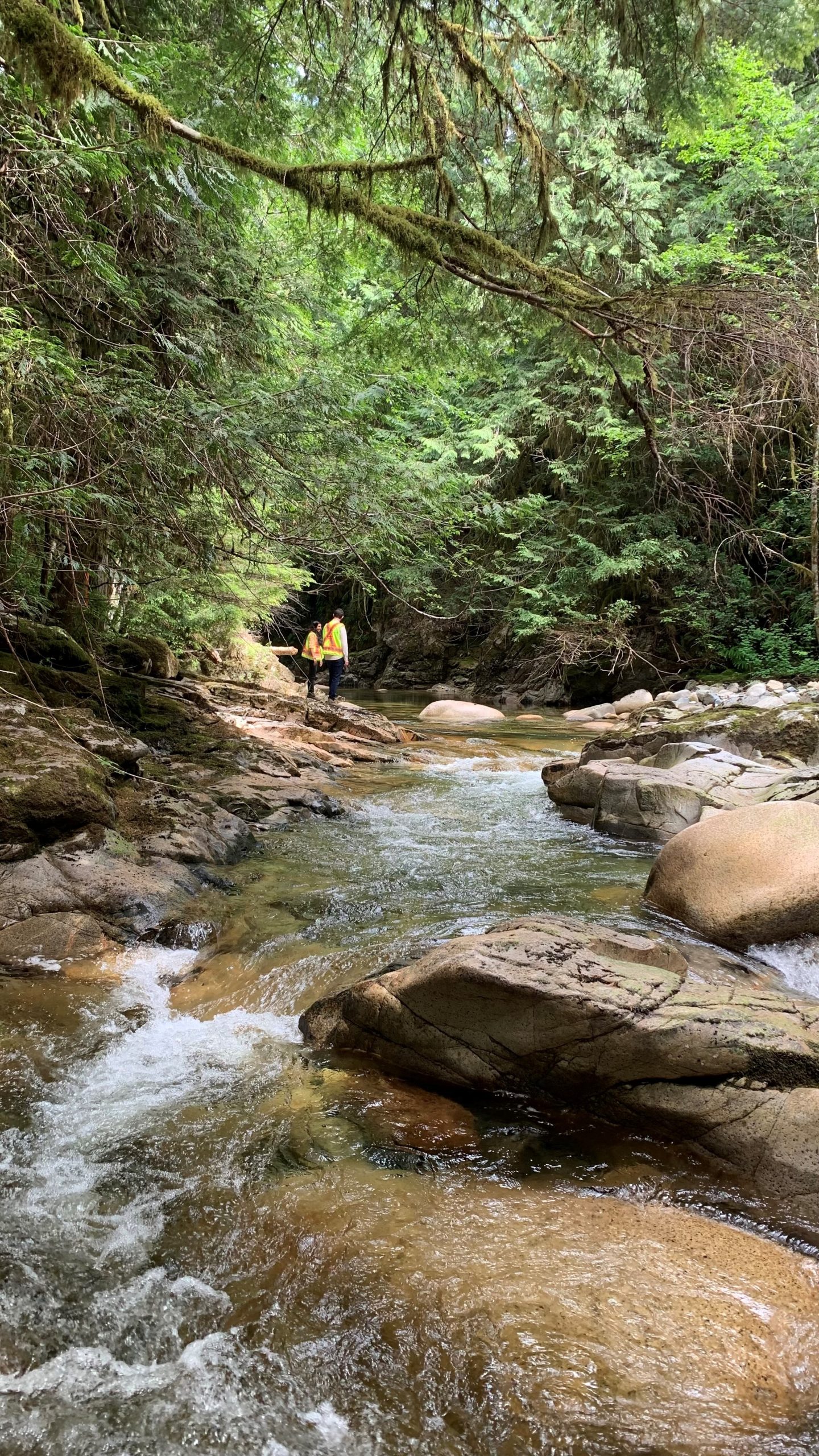
The SCRD monitors the flow dynamics of creeks 24/7 through hydrometric stations on the creeks listed below. The SCRD is collaborating closely with provincial authorities, to establishing EFNs for several creeks in our region:
- Chapman Creek
- Soames Creek
- Katherine Creek
Measuring water flow of creeks is essential to assess water availability, track changes in hydrological patterns (how water moves), and ensures the long-term sustainability of ecosystems and water supply.
The SCRD monitors the flows on the following creeks 24/7 through hydrometric stations:
- Langdale Creek
- Gray Creek
The SCRD manages seven water systems, each with unique ground and surface water sources. To ensure the water supplied to residents is safe and reliable, the SCRD analyzes water quality in each of the sources listed below each day, before it’s even treated. Learn about your water system here.
The water sources below are analyzed daily, prior to being treated.
- Chapman Creek
- Aquifer 560 at Church Road Well Field
- Gray Creek
- Garden Bay Lake
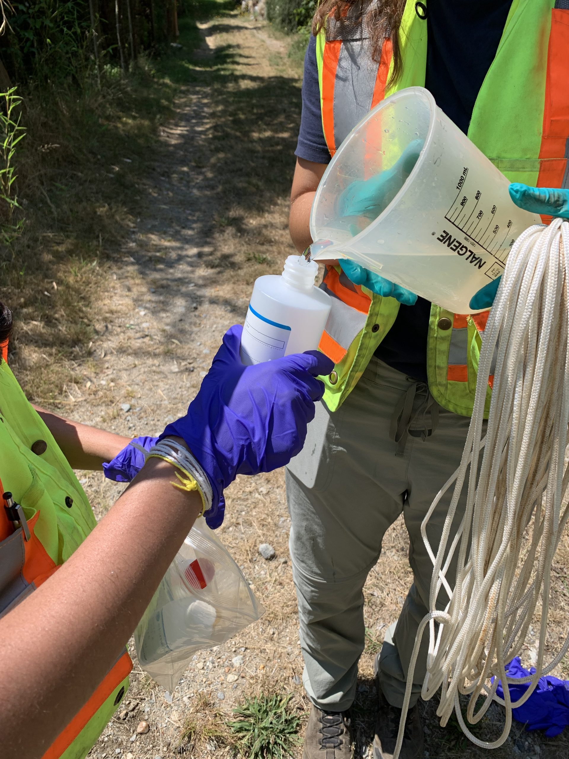
Each week, approximately one-hundred treated water samples are taken from various points throughout the SCRD water systems. Find more info here.
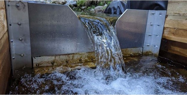
During Stage 4 Water Conservation Regulations when the siphons are operational, weekly monitoring occurs to ensure no negative environmental impacts. This monitoring is required per the SCRDs Park Use Permit, which allows the SCRD to operate water infrastructure within Tetrahedron Provincial Park.
Weekly monitoring of Chapman Creek at the siphon discharge site is completed and submitted to the Province and shishalh Nation. Monitoring considers the following:
- Fish health assessments
- Impact of drawdown on lakeshore, for example, erosion, or land movement
- Water quality, including, pH, colour, dissolved oxygen
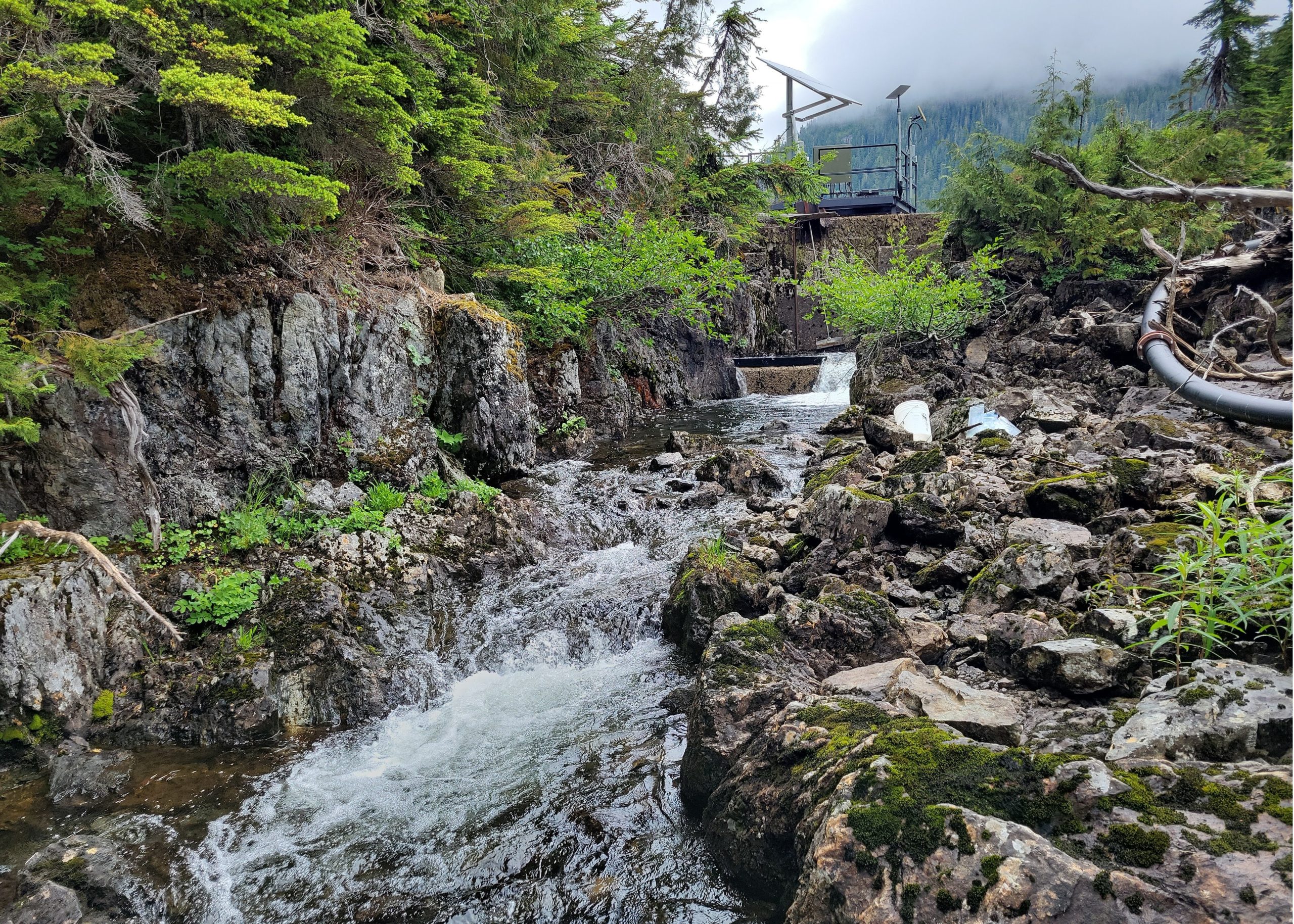
The SCRD uses groundwater level monitoring equipment (pressure transducers) installed in wells across the region. Data collected from this equipment is helping build long-term data sets to better understand trends and provide insight into water supply management.
The SCRD works with the Province of BC and Town of Gibsons to share aquifer monitoring data to promote a holistic approach to aquifer management. The SCRD monitors seven (7) wells across the Coast.
- Church Road
- Mary-Anne West
- Mahan Road
- Soames Well
- Chaster Well
- Langdale Well
- Eastbourne Wells
The SCRD uses a variety of environmental indicators to manage water supply resources on the Sunshine Coast. This includes monitoring water flows, groundwater levels, lake levels and completing snow surveys throughout the year.
The SCRD helped establish a weather station in Tetrahedron Provincial Park. Real time weather data can be found by going to this webpage and selecting “Tetrahedron” from the weather station drop-down list.
Landfill Environmental Programs
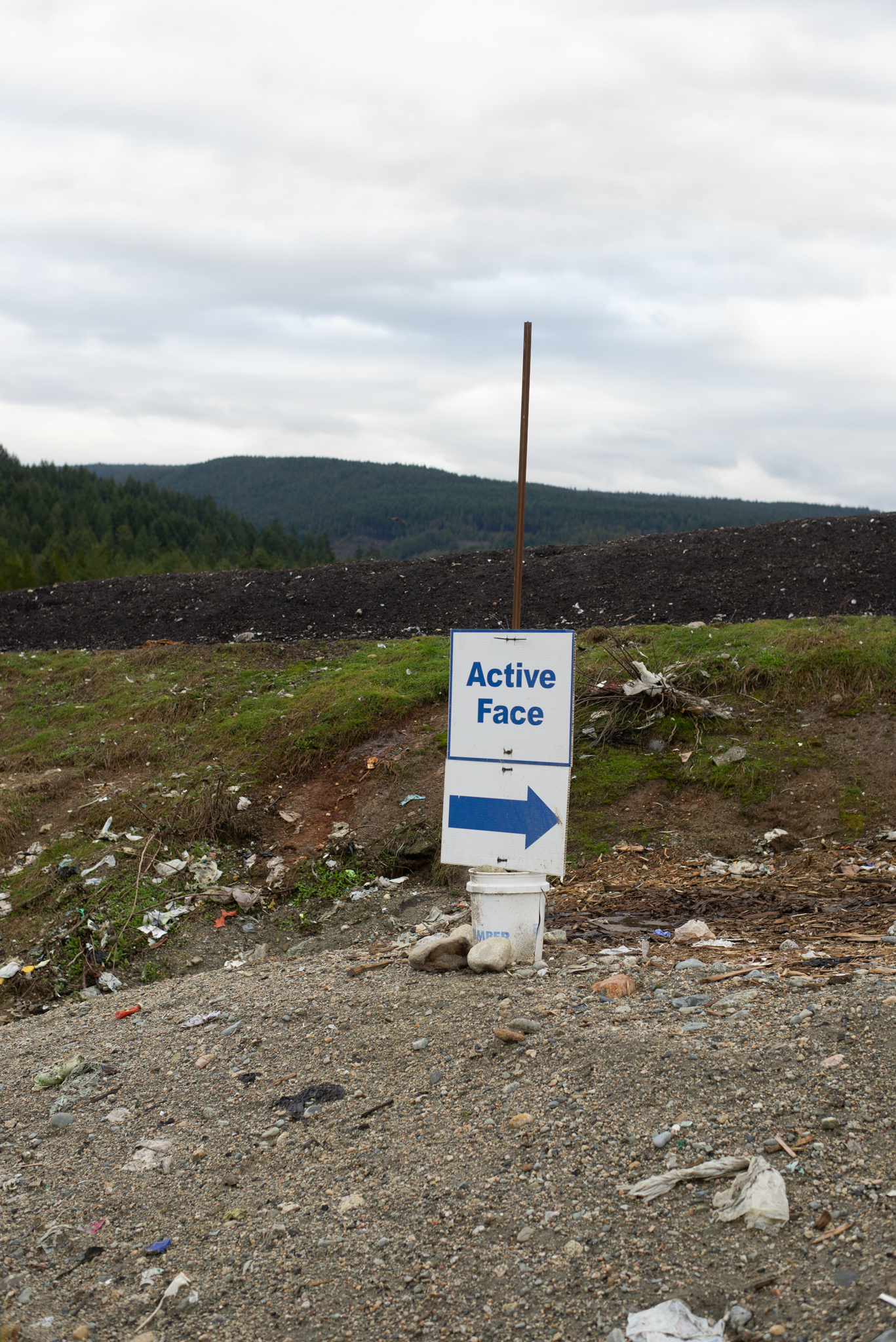
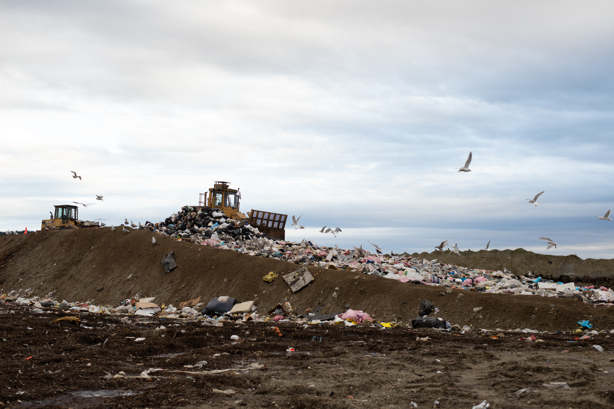
The SCRD manages non-hazardous solid waste from the District of Sechelt, Town of Gibsons, shishalh Nation Government District, and all the electoral areas in the SCRD. Waste is disposed of at the Sechelt Landfill. The active Sechelt Landfill, and numerous closed landfills (Pender Harbour Landfill, Gibsons Landfill and Halfmoon Bay Landfill) are all monitored by the SCRD through a robust environmental program.
Soil gas monitoring aims to ensure that gases from the landfill don’t pose risks to the surrounding environment. We keep an eye on soil gas pressure, methane, oxygen, carbon dioxide concentrations, and groundwater levels to safeguard against potential hazards like oxygen deficiency in the soil which can stress vegetation or explosion risks. This monitoring is completed quarterly.
We closely monitor groundwater through a well on site to detect any movement of contaminants from landfill activities. This helps us ensure that any impacts are adequately managed before water runoff is discharged from the landfill property.
Sampling for groundwater water monitoring locations occurs quarterly. Our analyses include a range of parameters such as temperature, pH, dissolved oxygen, and various chemical measurements to ensure thorough monitoring. This monitoring is completed quarterly.
Our surface water monitoring program ensures that landfill activities don’t affect nearby watercourses. We regularly sample water courses at three locations: Upper Chapman Creek (upstream of the landfill), Lower Chapman Creek (downstream of the landfill), and Irgens Creek (also downstream of the landfill). We’re committed to maintaining high water quality standards through ensuring landfill activities are not impacting creeks and rivers.
Sampling for surface water monitoring locations occurs quarterly. Our analyses include a range of parameters such as temperature, pH, dissolved oxygen, and various chemical measurements to ensure thorough monitoring. This monitoring is completed quarterly.
The SCRD monitors the closed Pender Harbour Landfill, which is located at the Pender Harbour Transfer Station. Semi-annual monitoring of nearby surface water (creeks) and the onsite well ensures previous landfill activities are not impacting creeks, rivers or groundwater.
The SCRD completes an annual visual inspection of the closed Gibsons Landfill and closed Halfmoon Bay Landfill.
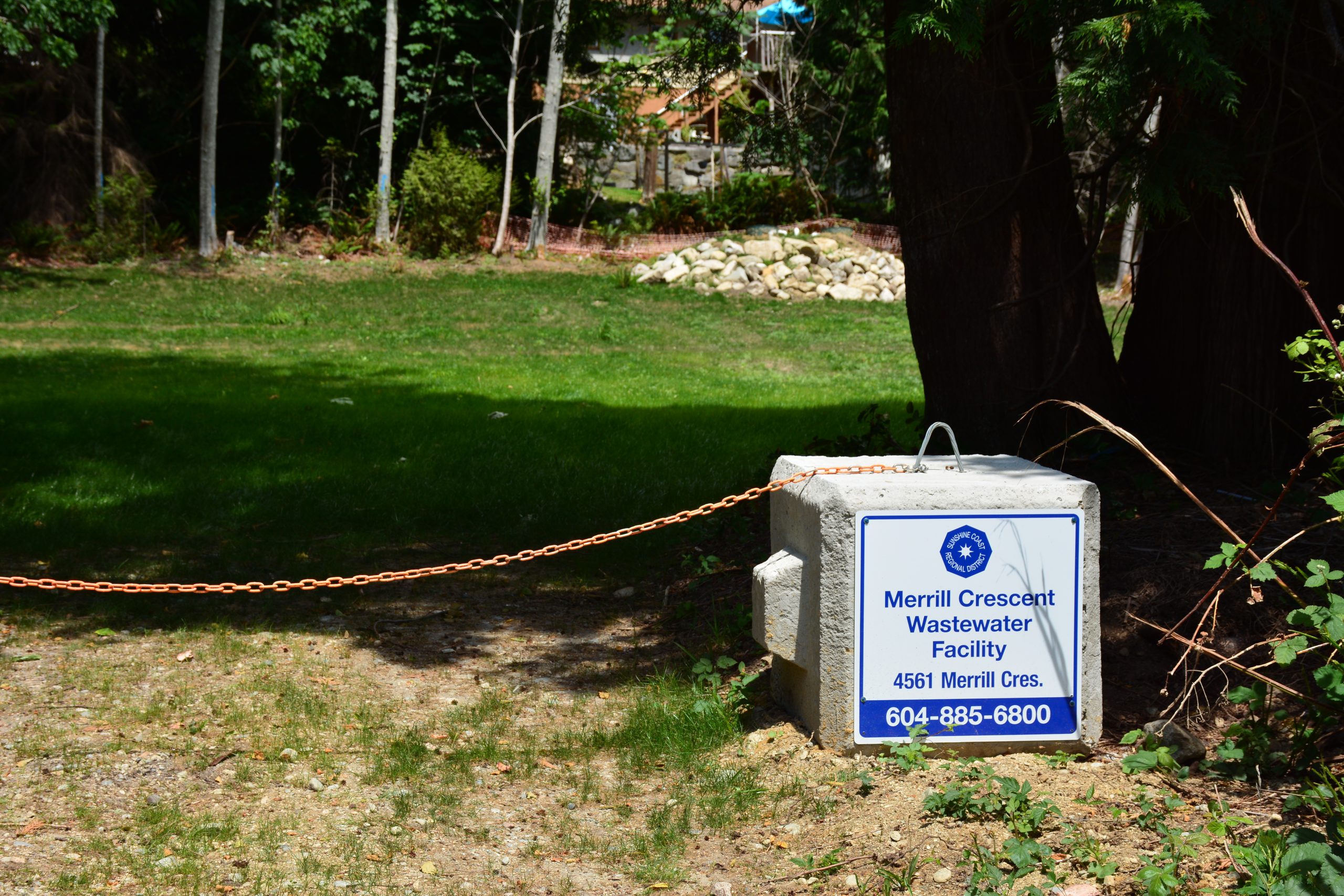
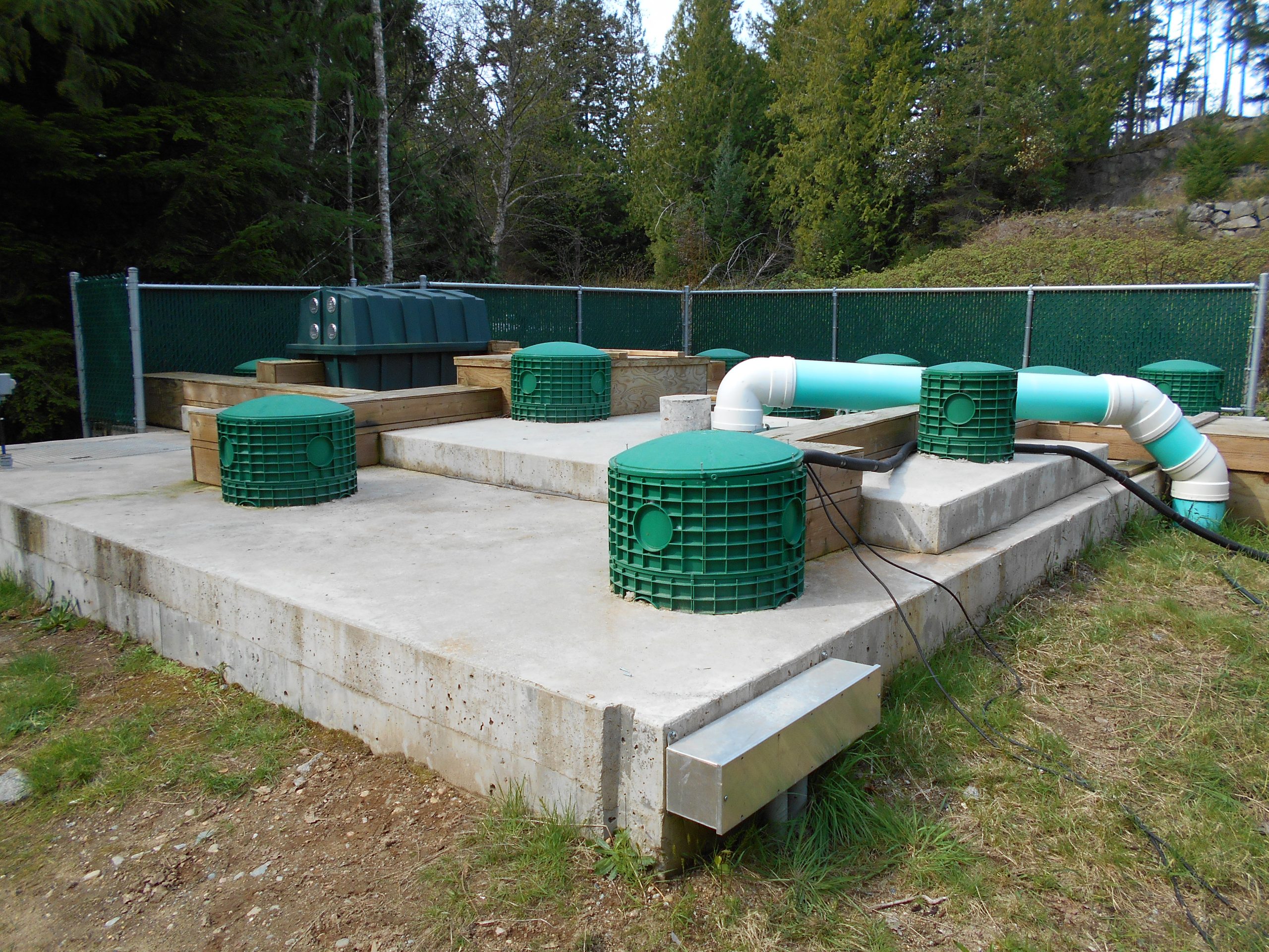
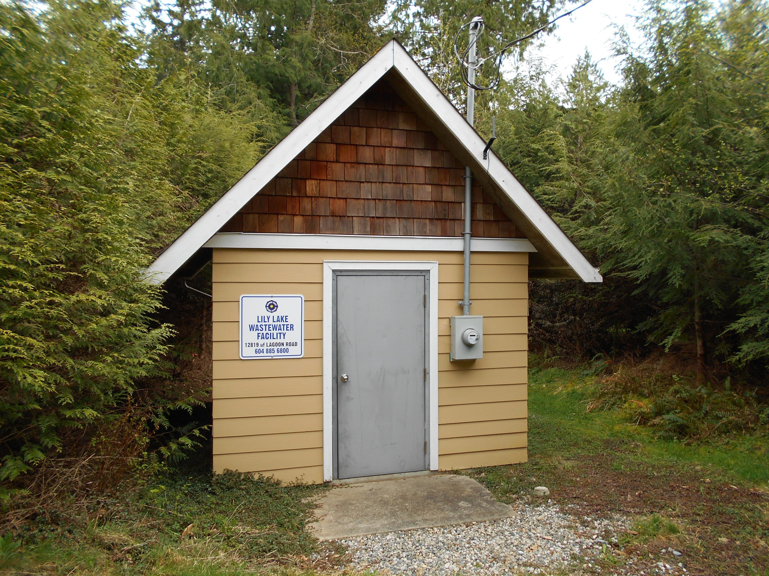
Wastewater Monitoring Program
The SCRD owns and operates 15 small community wastewater treatment systems across the Sunshine Coast. Each treatment system is unique and is monitored according to Municipal Wastewater Regulations, Ministry of Environment and Climate Change Strategy Permit and the Public Health Act.
Ministry of Environment and Climate Change Strategy Permit
- Langdale
- Woodcreek
- Lee Bay
- Secret Cove
- Jolly Roger
- Square Bay
- Curran Road
Municipal Wastewater Regulations
- YMCA Camp
- Pender Landing
- Lily Lake
- Painted Boat Resort
- Malibu Club
- Sakinaw Ridge
Public Health Act
- Greaves Road
- Canoe Road
- Merrill Crescent
- Sunnyside
- Robert Creek Co-Housing
For more information, contact infrastructure@scrd.ca